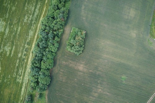
Agriculture

Multispectral and hyperspectral surveys of agricultural areas by UAVs of self-engineered production:
-
electronic agriculturally used areas mapping
-
agriculturally used areas inventory
-
volume of works measurement, execution control
-
comprehensive operational monitoring
-
of seeding-down
-
NDVI index detection
-
germinating ability measurement
-
yielding ability forecast
-
melioration measures planning, structural engineering
-
quality cultivated crop check
-
ecological monitoring of agriculturally used areas
Multispectral sensors provide a detailed picture of the germination of fields and detect land problem areas.


